Waterloo Snow Course Data
Snow course data was collected in 1991 and again in the years 1996 to 1999.
This Information has been summarized in the following Comma Seperated Files (CSV).
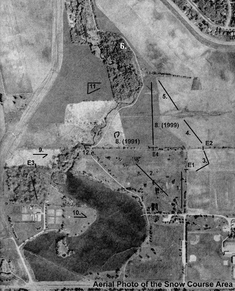
An aerial photo with the various snow course locations has also been included.
Snow Course Information: Snow course data has been
recored for several years on the North Campus of the University of Waterloo in Waterloo, Ontario.
Several different surface classes have been measured, such as forest, grass, and ploughed field.
This information includes snow depths and snow water equivalents which can be used to model snow melt.
Return to the Current Readings
(Home Page).
Location of Snow Courses
Aerial Photo of the Snow Course Area
Comma Separated Value Archive
Select the data you wish to download:
Note: Some of these files use a date code of year.month.day, where the year is a two digit number, the month is in roman numerals, and the day is a two digit number
1991 Snow Course Data
1996 Snow Course Data
1997 Snow Course Data
1998 Snow Course Data
1999 Snow Course Data
Back to top of page